RRR Land Surveying Services is one of the country's rising service provider in Land Surveying, Construction and Real State Developer, Owned by Engr. Richard Rebueno, the firm core objective is to provide quality geodetic engineering services.
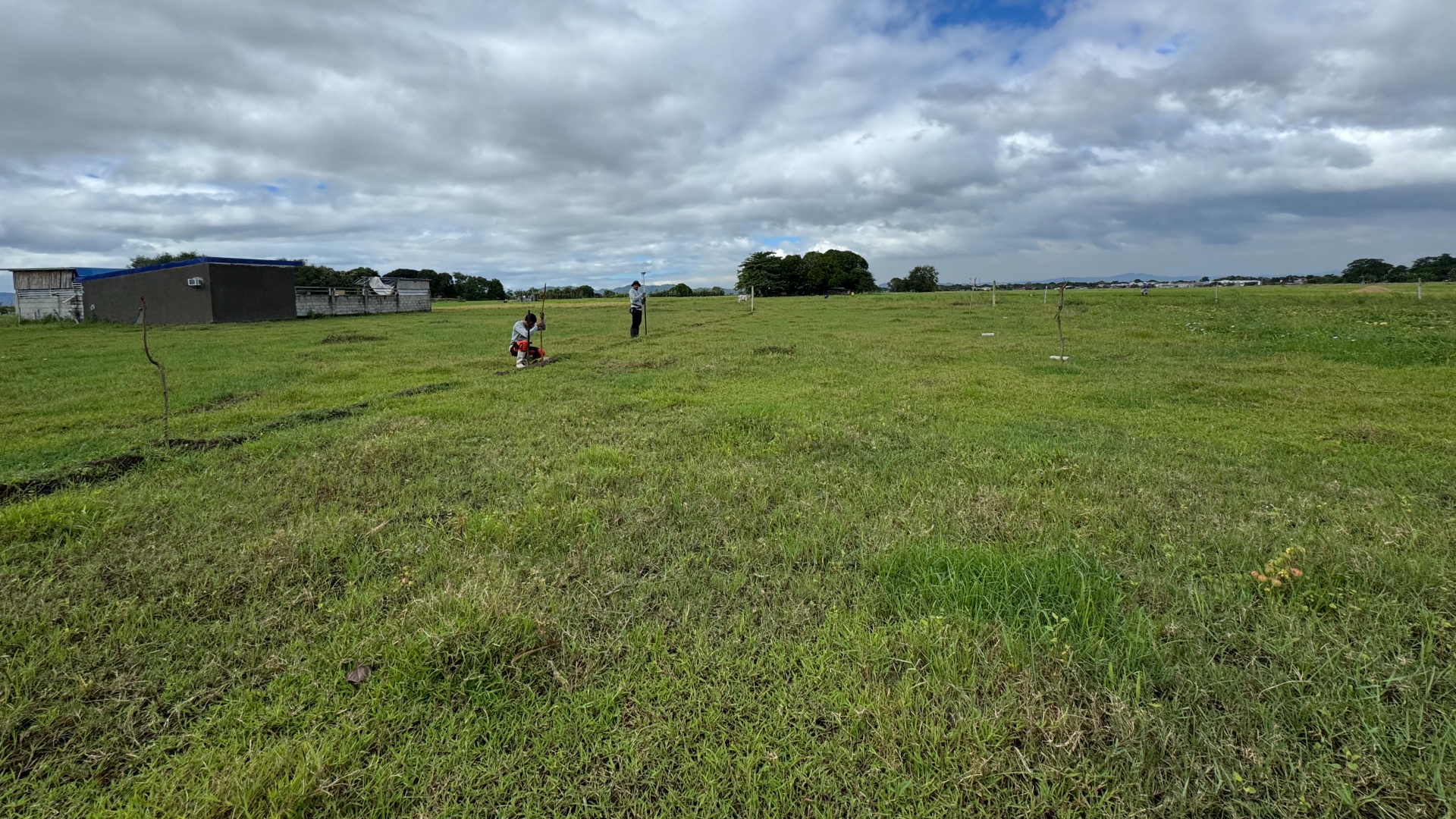
As it expands, RRR-LSS now offers engineering Surveys and other geomatics engineering services such as control establishments, mineral land surveys, bathymetric surveys and mapping through remote sensing, geographic info system (GIS), and Drone Surveying.
Delivering precise and reliable land surveying solutions using advanced technology and innovative techniques, we pride ourselves on setting the standard for accuracy and professionalism in the industry.
We offer responsive and reliable support to address your inquiries and project needs anytime, ensuring seamless communication and peace of mind throughout your surveying process.
Led by a Licensed Geodetic Engineer with extensive experience, we provide accurate and reliable land surveying services, ensuring every project is completed with precision and professionalism.
Contact RRR Land Surveying Services today for an accurate and competitive quote tailored to your surveying needs. Our team is ready to provide professional, reliable, and precise land surveying services to help you with your next project.
At RRR Land Surveying Services, we value your time. We ensure that all inquiries receive a prompt reply within 24 hours. Our team is dedicated to providing accurate and reliable land surveying services for your needs.

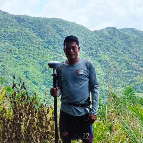
CEO

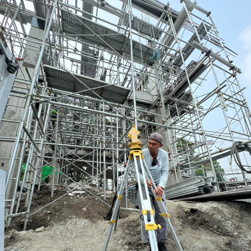
Instrumentman
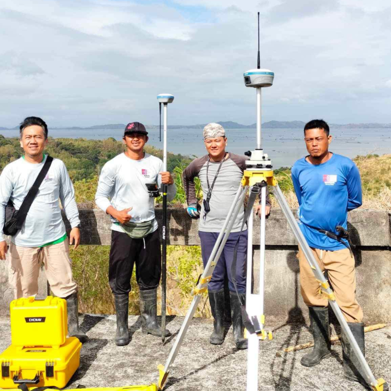
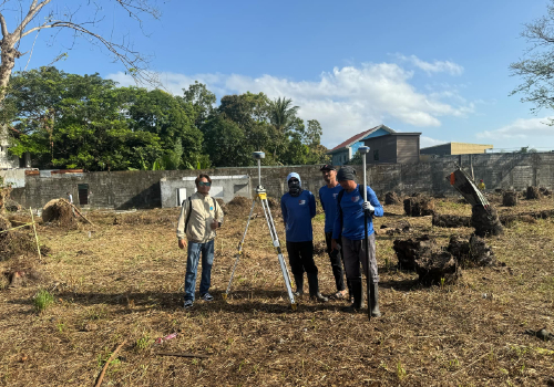
Survey Crew

Survey Crew
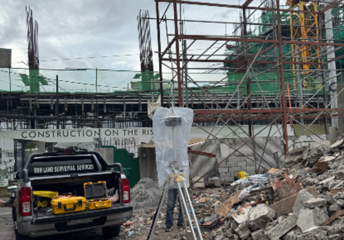
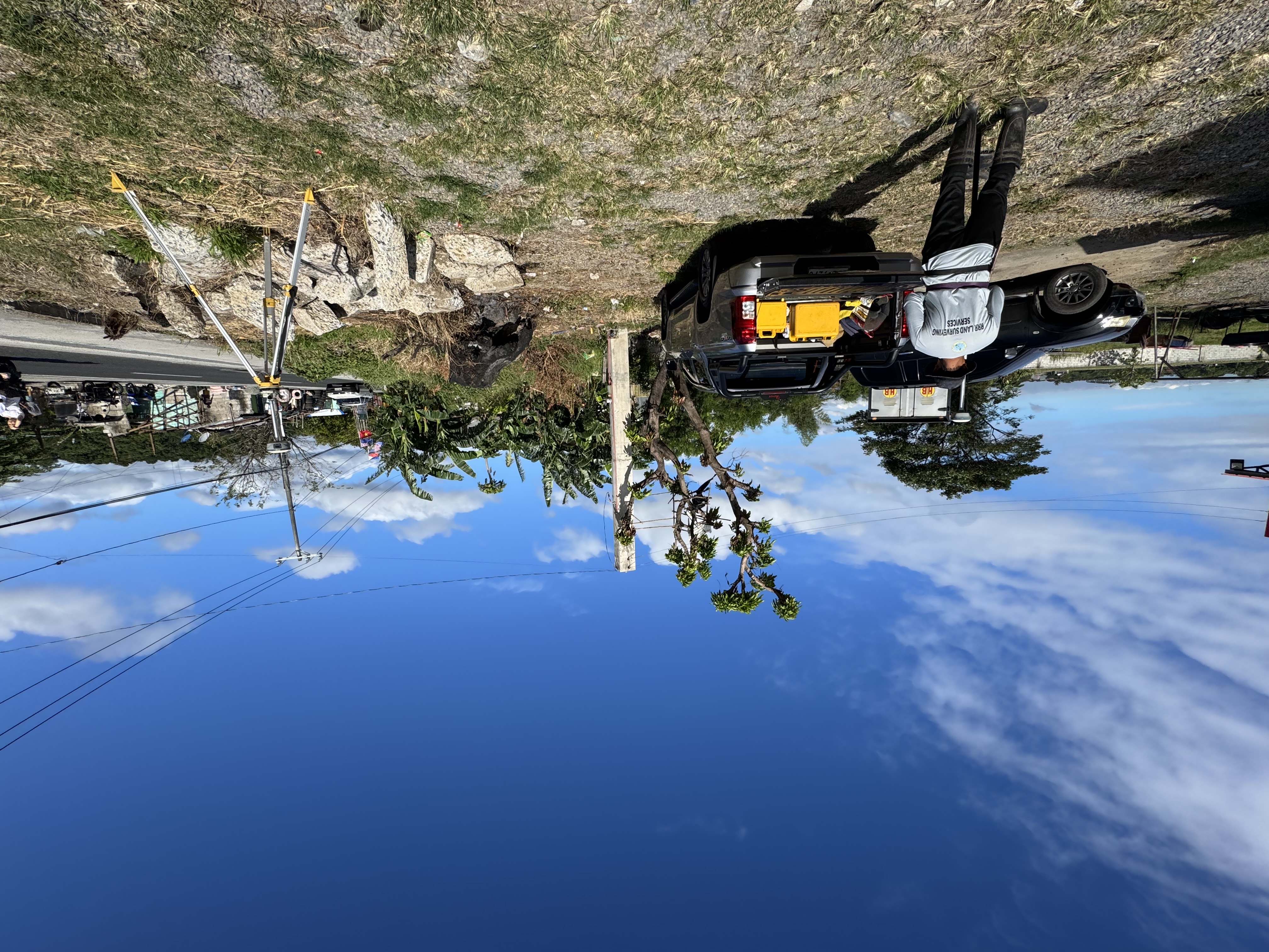
We provide precise Construction Layout services to ensure the accurate positioning of structures, guiding the placement of buildings and infrastructure according to design plans and engineering specifications.
We conduct Relocation Surveys to re-establish property boundaries and accurately relocate structures, ensuring compliance with legal standards and project requirements.
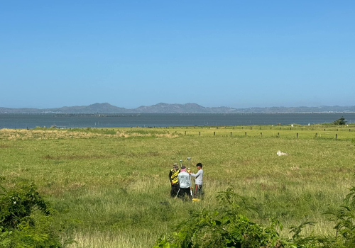
Our Topographic Surveys provide detailed land surface data, including contours and elevation, essential for planning and construction projects.
© RRR Land Surveying Services. All Rights Reserved. Designed by HTML Codex